Road geotechnics in Maple Ridge addresses the unique subgrade conditions shaped by glacial till, alluvial deposits, and soft silts along the Fraser River lowlands. Local compliance follows the BC Ministry of Transportation and Infrastructure standards and CSA guidelines for pavement foundations. A robust road structure begins with a comprehensive CBR study for road design to quantify subgrade strength and moisture sensitivity, directly informing the choice between a flexible pavement design or a more rigid alternative suited to the site’s bearing capacity and drainage profile.
This discipline is essential for arterial road widenings, new residential subdivisions, and industrial access routes where long-term performance under heavy traffic and wet coastal weather is critical. In Maple Ridge, projects with high stiffness demands or truck-loading zones often transition from a granular base analysis to a rigid pavement design, ensuring minimal deformation and extended service life on challenging native soils. A properly sequenced geotechnical investigation remains the foundation of every durable pavement strategy.

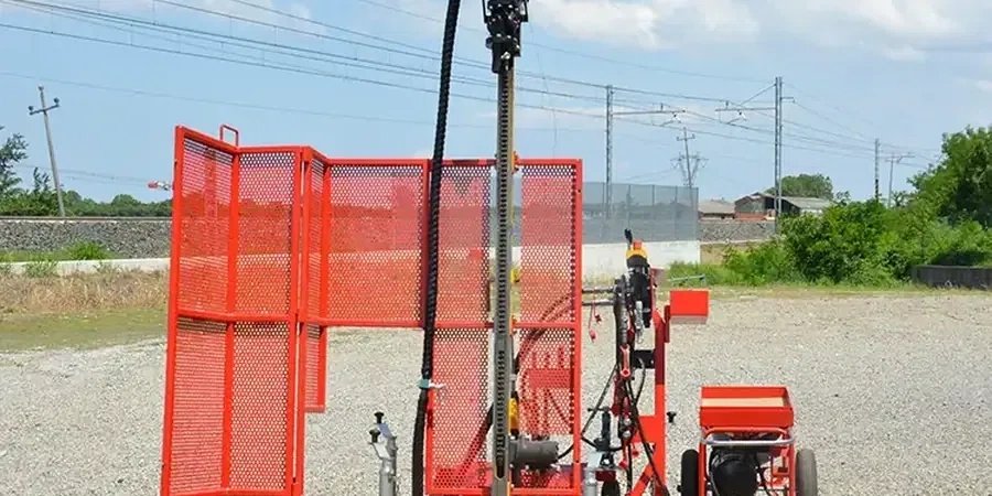
Road geotechnics in Maple Ridge covers the full investigation-design-construction cycle for transportation corridors, from residential collectors to major arterials like Lougheed Highway and Dewdney Trunk Road. The local geology is shaped by Pleistocene glacial and post‑glacial processes, leaving variable deposits of lodgement till, glaciomarine silts, and soft compressible clays in low‑lying areas near the Fraser and Pitt Rivers, while upland zones expose ablation till and fractured bedrock. These conditions demand careful stratigraphic characterization because road performance is directly tied to subgrade behavior under cyclic loading and seasonal moisture fluctuation. Our investigation programs begin with a desktop review of BC Ministry of Transportation and Transit standards and City of Maple Ridge engineering bylaws, then move to targeted field campaigns that rely heavily on CPT (Cone Penetration Test) soundings to map soft clay lenses and loose silt layers that threaten embankment stability.
Methodology follows CSA and ASTM standards adapted to the Canadian regulatory framework, with particular attention to the BC Supplement to the TAC Geometric Design Guide and the MMCD (Master Municipal Construction Documents) adopted by Maple Ridge. Fieldwork integrates continuous CPT profiling with pore‑pressure dissipation tests to estimate consolidation parameters, complemented by field density tests (sand cone method) on compacted fills to verify 95% or 98% Standard Proctor compaction as specified in OPSS 501. In‑situ strength and stiffness are further evaluated through pressuremeter testing and seismic shear‑wave measurements, critical for modulus inputs in pavement design. All physical samples undergo rigorous laboratory analysis, starting with grain size analysis (sieve + hydrometer) to classify soils per the Unified Soil Classification System and quantify frost susceptibility—a key concern for Maple Ridge roads subject to winter freeze‑thaw cycles. Atterberg limits testing (Atterberg limits) refines the classification of fine‑grained soils, providing plasticity indices that directly inform subgrade resilient modulus correlations and drainage design.
Typical projects include widening of arterial corridors on the valley floor, where thick sequences of compressible Fraser River sediments require staged embankment construction monitored by settlement plates and piezometers, and slope‑stability remediation along sections of 232nd Street or Fern Crescent, where cut slopes intersect colluvium and weathered bedrock. Residential subdivision roads in upland neighborhoods like Silver Valley must address infiltration management in till‑derived soils, often requiring deep granular shoulders and subdrains designed from saturated hydraulic conductivity values measured in our in‑situ testing program. In all cases, the geotechnical scope extends to foundations for retaining walls, culverts, and sign structures, where bearing capacity and lateral earth pressure calculations incorporate site‑specific strength parameters derived from laboratory triaxial and direct shear tests.
The process moves from factual data delivery to interpretive geotechnical design recommendations. Deliverables include a geotechnical investigation report with borehole and CPT logs, cross‑sections, laboratory test results, and a pavement design appendix that proposes layer thicknesses, material specifications, and subgrade preparation protocols aligned with the AASHTO 1993 method and local calibration. Our value lies in reducing long‑term maintenance costs by anticipating poor subgrade performance before construction—identifying where lime stabilization, geogrid reinforcement, or preloading with wick drains will prevent differential settlement and frost heave. For Maple Ridge’s expanding transportation network, that translates into roads built on a defensible,